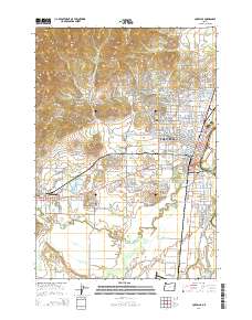
2014 Map of Corvallis
USGS Topo · Published 2014About this map
Corvallis and Philomath anchor this topographic survey, highlighting the 2014 landscape of the central Willamette Valley. The expansive campus of Oregon State University serves as a focal point, surrounded by residential expansion and major thoroughfares like NW Walnut Blvd and Pacific Hwy W. The topography is defined by the transition from the valley floor to the foothills, where Witham Hill, Bald Hill, and Dimple Hill rise above the urban grid.
Find a feature on this map
150 named features on this map. Tap any name to fly to it.
Don’t see what you’re looking for? This feature index may not catch every label — zoom into the map to look around manually.
Map Details
Editions of this 2014 Corvallis Map
This is the sole edition of this map. No revisions or reprints were ever made.
Other maps of this area

1911 · Inavale
USGS Topo · 1:31,680

1912 · Halsey
USGS Topo · 1:62,500

1913 · Philomath
USGS Topo · 1:31,680

1913 · Oakville
USGS Topo · 1:31,680

1913 · Wells
USGS Topo · 1:31,680

1914 · Soap Creek
USGS Topo · 1:31,680

1916 · Albany
USGS Topo · 1:62,500

1921 · Corvallis
USGS Topo · 1:62,500

1922 · Monroe
USGS Topo · 1:62,500

1939 · Monroe
USGS Topo · 1:62,500