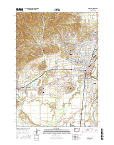
2017 Map of Corvallis
USGS Topo · Published 2017About this map
Corvallis and the neighboring community of Philomath sit at the confluence of the Willamette River and the Marys River, a landscape defined by collegiate expansion and timber-era industry. The sprawling campus of Oregon State University dominates the central portion of the city, while the surrounding hills like Witham Hill and Bald Hill show the residential growth pressing into the western elevations. Traces of the region's industrial past are evident in the managed water features such as Clemens Log Pond and Larson Log Pond west of the city center. For those tracing local history, several prominent burial sites are recorded, including Benton Cem, Saint Marys Cem, and Mount Union Cem. The map detail extends south to the Corvallis Municipal Airport and follows the complex braids of the river around Kiger Island and John Smith Island, where the Middle Channel Willamette River and West Fork Booneville Channel separate the fertile lowlands.
Find a feature on this map
227 named features on this map. Tap any name to fly to it.
Don’t see what you’re looking for? This feature index may not catch every label — zoom into the map to look around manually.
Map Details
Editions of this 2017 Corvallis Map
This is the sole edition of this map. No revisions or reprints were ever made.
Other maps of this area

1911 · Inavale
USGS Topo · 1:31,680

1912 · Halsey
USGS Topo · 1:62,500

1913 · Philomath
USGS Topo · 1:31,680

1913 · Oakville
USGS Topo · 1:31,680

1913 · Wells
USGS Topo · 1:31,680

1914 · Soap Creek
USGS Topo · 1:31,680

1916 · Albany
USGS Topo · 1:62,500

1921 · Corvallis
USGS Topo · 1:62,500

1922 · Monroe
USGS Topo · 1:62,500

1939 · Monroe
USGS Topo · 1:62,500