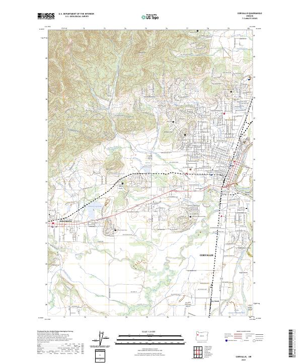
2023 Map of Corvallis
USGS Topo · Published 2023About this map
Corvallis and Philomath occupy a landscape shaped by the Willamette River and its complex network of side channels, including the Booneville Channel and West Fork Booneville Channel. This survey of the university city and its western neighbor highlights the academic core at Oregon State University and the civic center around the Benton County Courthouse. The terrain transitions from the alluvial plains of the river toward the western hills, marked by prominent elevations like Bald Hill and Dimple Hill. Local infrastructure is well-defined, ranging from industrial sites like Clemens Log Pond and Larson Log Pond to essential utilities like the Corvallis Reservoir. Extensive cemetery and memorial sites, including the Zion Lutheran Cem, Masonic Cem, and Oak Lawn Memorial Park, provide significant touchpoints for genealogists tracing the community's heritage through the 21st century.
Find a feature on this map
153 named features on this map. Tap any name to fly to it.
Don’t see what you’re looking for? This feature index may not catch every label — zoom into the map to look around manually.
Map Details
Editions of this 2023 Corvallis Map
This is the sole edition of this map. No revisions or reprints were ever made.
Other maps of this area

1911 · Inavale
USGS Topo · 1:31,680

1912 · Halsey
USGS Topo · 1:62,500

1913 · Philomath
USGS Topo · 1:31,680

1913 · Oakville
USGS Topo · 1:31,680

1913 · Wells
USGS Topo · 1:31,680

1914 · Soap Creek
USGS Topo · 1:31,680

1916 · Albany
USGS Topo · 1:62,500

1921 · Corvallis
USGS Topo · 1:62,500

1922 · Monroe
USGS Topo · 1:62,500

1939 · Monroe
USGS Topo · 1:62,500