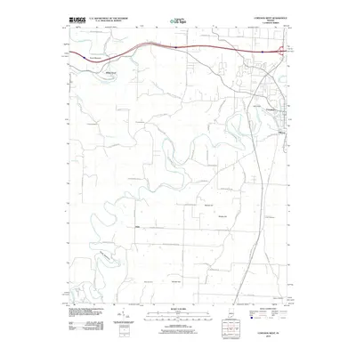
2010 Map of Corydon West
USGS Topo · Published 2010About this map
Indian Creek and the Blue River carve through the landscape west of Corydon, defining the topography of Harrison County in the early 21st century. The map reveals a transition from the structured street grid of the county seat to the winding rural roads and family settlements of the surrounding countryside. Prominent elevations such as Pilot Knob, Mathes Hill, and Binkley Hill rise above the drainage basins, while the distinctive narrow ridge of the Devils Backbone follows the bends of the creek.
Find a feature on this map
60 named features on this map. Tap any name to fly to it.
Don’t see what you’re looking for? This feature index may not catch every label — zoom into the map to look around manually.
Map Details
Editions of this 2010 Corydon West Map
This is the sole edition of this map. No revisions or reprints were ever made.
Other maps of this area

1931 · Corydon
USGS Topo · 1:62,500

1944 · Corydon West
USGS Topo · 1:24,000

1946 · Leavenworth
USGS Topo · 1:24,000

1946 · Depauw
USGS Topo · 1:24,000

1947 · Leavenworth
USGS Topo · 1:24,000

1947 · Corydon West
USGS Topo · 1:24,000

1947 · Mauckport
USGS Topo · 1:24,000

1948 · Corydon East
USGS Topo · 1:24,000

1948 · Milltown
USGS Topo · 1:24,000

1948 · Laconia
USGS Topo · 1:24,000