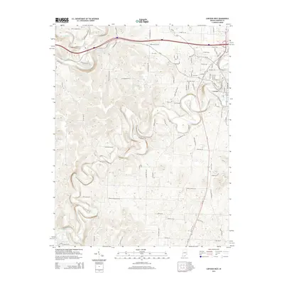
2014 Map of Corydon West
USGS Topo · Published 2014About this map
Indian Creek carves a deep, winding path through the limestone landscape west of Corydon in this 2014 survey. The topography is defined by the sharp relief of the Blue River valley and its tributaries like Hickman Br and Rock Cr. The map captures the suburban expansion of Indiana's first state capital, with residential development stretching along Main St NW and N Capitol Ave toward the small reservoir at Lake Number One. Grounded in the early 21st century, the map details a modern road network including In-62 and In-135, while preserving older corridor names like Old Forest Rd NW and Harrison Springs Rd NW that hint at the area's rural transit history.
Find a feature on this map
77 named features on this map. Tap any name to fly to it.
Don’t see what you’re looking for? This feature index may not catch every label — zoom into the map to look around manually.
Map Details
Editions of this 2014 Corydon West Map
This is the sole edition of this map. No revisions or reprints were ever made.
Other maps of this area

1931 · Corydon
USGS Topo · 1:62,500

1944 · Corydon West
USGS Topo · 1:24,000

1946 · Leavenworth
USGS Topo · 1:24,000

1946 · Depauw
USGS Topo · 1:24,000

1947 · Leavenworth
USGS Topo · 1:24,000

1947 · Corydon West
USGS Topo · 1:24,000

1947 · Mauckport
USGS Topo · 1:24,000

1948 · Corydon East
USGS Topo · 1:24,000

1948 · Milltown
USGS Topo · 1:24,000

1948 · Laconia
USGS Topo · 1:24,000