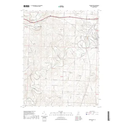
2019 Map of Corydon West
USGS Topo · Published 2019About this map
Harrison Spring and the winding course of the Blue River define the northern landscape of this region west of Corydon. The topography is characterized by significant elevations and sinkhole-rich terrain, notably at Pilot Knob and Scout Mtn. Small rural settlements like White Cloud and Dixie are connected by a network of winding roads, including Devils Elbow Rd NW and Fairview Church Rd SW. Genealogists will find several family burial sites throughout the township lines, such as Hottel Cem near Conrad and Jordan Cem to the east. The presence of the Haywood Nature Reserve near Hillcrest indicates a shift toward modern conservation, yet the land retains its traditional character through features like Devils Backbone and the deep drainage of Cold Friday Hollow.
Find a feature on this map
77 named features on this map. Tap any name to fly to it.
Don’t see what you’re looking for? This feature index may not catch every label — zoom into the map to look around manually.
Map Details
Editions of this 2019 Corydon West Map
This is the sole edition of this map. No revisions or reprints were ever made.
Other maps of this area

1931 · Corydon
USGS Topo · 1:62,500

1944 · Corydon West
USGS Topo · 1:24,000

1946 · Leavenworth
USGS Topo · 1:24,000

1946 · Depauw
USGS Topo · 1:24,000

1947 · Leavenworth
USGS Topo · 1:24,000

1947 · Corydon West
USGS Topo · 1:24,000

1947 · Mauckport
USGS Topo · 1:24,000

1948 · Corydon East
USGS Topo · 1:24,000

1948 · Milltown
USGS Topo · 1:24,000

1948 · Laconia
USGS Topo · 1:24,000