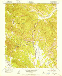
1949 Map of Cosio Knob
USGS Topo · Published 1953About this map
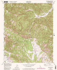
San Antonio Mission anchors the southwest corner of this landscape, situated near the headwaters of Mission Creek. The 1949 survey illustrates a region largely defined by the Hunter Liggett Military Reservation, where a network of utility infrastructure including a Telephone Line and an Airfield crisscrosses the varied terrain. The map captures a transitional infrastructure period, where established landmarks like Cosio Knob and the Oat Hills stand alongside the emerging military presence.
Find a feature on this map
27 named features on this map. Tap any name to fly to it.
Don’t see what you’re looking for? This feature index may not catch every label — zoom into the map to look around manually.
Map Details
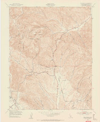
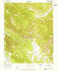
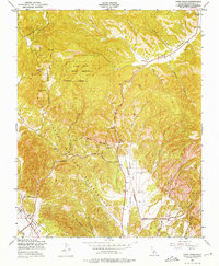
Editions of this 1949 Cosio Knob Map
6 editions found
Other maps of this area

1919 · King City
USGS Topo · 1:62,500

1919 · Junipero Serra
USGS Topo · 1:62,500

1919 · Bryson
USGS Topo · 1:62,500

1921 · Cape San Martin
USGS Topo · 1:62,500

1939 · King City
USGS Topo · 1:62,500

1941 · Cape San Martin
USGS Topo · 1:62,500

1941 · Junipero Serra
USGS Topo · 1:62,500

1941 · Bryson
USGS Topo · 1:62,500

1942 · Bryson
USGS Topo · 1:62,500

1942 · Cape San Martin
USGS Topo · 1:62,500