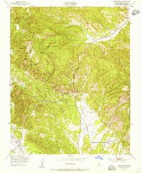
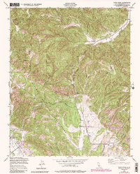
1949 Map of Cosio Knob
USGS Topo · Published 1956About this map
San Antonio Mission sits near the southwestern edge of this landscape, established as a historic landmark within a region increasingly defined by the mid-century expansion of the Hunter Liggett Military Reservation. The map captures a moment when traditional land uses, represented by numerous scattered Windmills and cattle-country terrain, meet the strategic needs of the Milpitas Reservation. The rugged topography is etched by seasonal watercourses like Quinado Canyon and Robinson Canyon, while the lowlands near the San Antonio R reveal the infrastructure of the era, including a local Airfield and the primary artery of Jolon Road. Notable landmarks such as Ruins along Jolon Creek and the prominent elevation of Cosio Knob offer points of interest for those tracing the evolution of Monterey County's ranching and military heritage.
Find a feature on this map
26 named features on this map. Tap any name to fly to it.
Don’t see what you’re looking for? This feature index may not catch every label — zoom into the map to look around manually.
Map Details
Editions of this 1949 Cosio Knob Map
6 editions found
Other maps of this area

1919 · King City
USGS Topo · 1:62,500

1919 · Junipero Serra
USGS Topo · 1:62,500

1919 · Bryson
USGS Topo · 1:62,500

1921 · Cape San Martin
USGS Topo · 1:62,500

1939 · King City
USGS Topo · 1:62,500

1941 · Cape San Martin
USGS Topo · 1:62,500

1941 · Junipero Serra
USGS Topo · 1:62,500

1941 · Bryson
USGS Topo · 1:62,500

1942 · Bryson
USGS Topo · 1:62,500

1942 · Cape San Martin
USGS Topo · 1:62,500