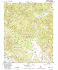
1949 Map of Cosio Knob
USGS Topo · Published 1984About this map
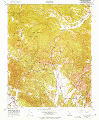
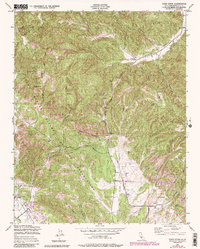
Mission San Antonio de Padua stands as a focal point of this coastal range landscape, situated near the San Antonio R in the southwest corner of the map. The terrain is defined by the steep ridges of the Oat Hills and prominent peaks like Cosio Knob, with the vast Fort Hunter Liggett Military Reservation encompassing much of the territory. The map reveals a transition from these rugged highlands down into the Jolon Valley, where the drainage of Jolon Creek and Mission Creek shaped the early accessibility of the region.
Find a feature on this map
27 named features on this map. Tap any name to fly to it.
Don’t see what you’re looking for? This feature index may not catch every label — zoom into the map to look around manually.
Map Details
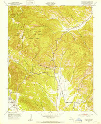
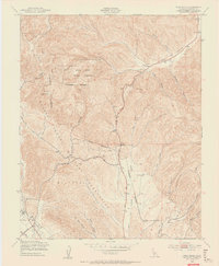
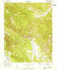
Editions of this 1949 Cosio Knob Map
6 editions found
Other maps of this area

1919 · King City
USGS Topo · 1:62,500

1919 · Junipero Serra
USGS Topo · 1:62,500

1919 · Bryson
USGS Topo · 1:62,500

1921 · Cape San Martin
USGS Topo · 1:62,500

1939 · King City
USGS Topo · 1:62,500

1941 · Cape San Martin
USGS Topo · 1:62,500

1941 · Junipero Serra
USGS Topo · 1:62,500

1941 · Bryson
USGS Topo · 1:62,500

1942 · Bryson
USGS Topo · 1:62,500

1942 · Cape San Martin
USGS Topo · 1:62,500