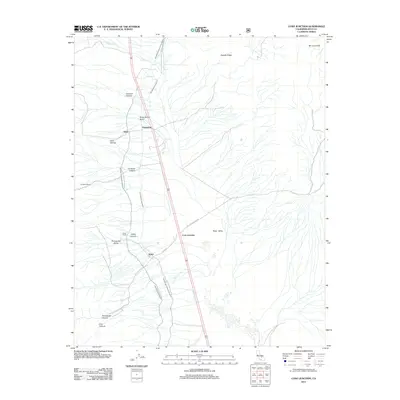
2012 Map of Coso Junction
USGS Topo · Published 2012About this map
Rose Valley serves as a central corridor for vital water infrastructure and local settlements in this high desert region of Inyo County. The engineering feat of the Los Angeles Aqueduct and the Second Los Angeles Aqueduct dominates the north-south axis, tracing the base of the mountains to transport water toward the coast. These massive conduits run parallel to the highway, passing near established points such as Dunmovin and the intersection at Coso Junction.
Find a feature on this map
23 named features on this map. Tap any name to fly to it.
Don’t see what you’re looking for? This feature index may not catch every label — zoom into the map to look around manually.
Map Details
Editions of this 2012 Coso Junction Map
This is the sole edition of this map. No revisions or reprints were ever made.
Other maps of this area

1905 · Olancha
USGS Topo · 1:125,000

1906 · Kernville
USGS Topo · 1:125,000

1907 · Olancha
USGS Topo · 1:125,000

1908 · Kernville
USGS Topo · 1:125,000

1908 · Ballarat
USGS Topo · 1:250,000

1913 · Ballarat
USGS Topo · 1:250,000

1915 · Searles Lake
USGS Topo · 1:250,000

1947 · Trona
USGS Topo · 1:250,000

1948 · Trona
USGS Topo · 1:250,000

1948 · Death Valley
USGS Topo · 1:250,000