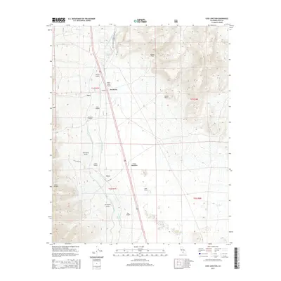
2015 Map of Coso Junction
USGS Topo · Published 2015About this map
The Los Angeles Aqueduct and Second Los Angeles Aqueduct dominate the eastern slopes of the Sierra Nevada in this 2015 study of Inyo County. These engineering marvels parallel the edge of the Mojave Desert, cutting across a landscape defined by significant drainage features like Tunawee Canyon, Portuguese Canyon, and Water Spout Gulch. Small highway settlements and transit points such as Dunmovin, Coso Junction, and Sykes sit along the corridor between the steep Haiwee Ridge and the floor of Rose Valley. The map detail captures the intersection of critical California water infrastructure with the arid terrain of Portuguese Bench and Lewis Canyon. Local history and geography are preserved through specific landmarks like Rose Spring and the curiously named settlement of Talus, providing a clear view of how high-desert geography and industrial utility meet in this part of the Owens Valley region.
Find a feature on this map
28 named features on this map. Tap any name to fly to it.
Don’t see what you’re looking for? This feature index may not catch every label — zoom into the map to look around manually.
Map Details
Editions of this 2015 Coso Junction Map
This is the sole edition of this map. No revisions or reprints were ever made.
Other maps of this area

1905 · Olancha
USGS Topo · 1:125,000

1906 · Kernville
USGS Topo · 1:125,000

1907 · Olancha
USGS Topo · 1:125,000

1908 · Kernville
USGS Topo · 1:125,000

1908 · Ballarat
USGS Topo · 1:250,000

1913 · Ballarat
USGS Topo · 1:250,000

1915 · Searles Lake
USGS Topo · 1:250,000

1947 · Trona
USGS Topo · 1:250,000

1948 · Trona
USGS Topo · 1:250,000

1948 · Death Valley
USGS Topo · 1:250,000