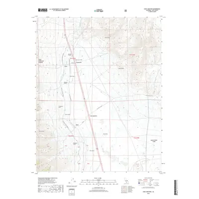
2018 Map of Coso Junction
USGS Topo · Published 2018About this map
The Los Angeles Aqueduct and the Second Los Angeles Aqueduct define the industrial and hydrological character of this high desert corridor, flanking the highway as they traverse the Rose Valley. These massive infrastructure projects parallel the eastern foothills of the Sierra Nevada, providing a stark contrast to the surrounding arid terrain of the Mojave Desert. Small settlements and transit points like Dunmovin, Coso Junction, and Sykes are interspersed along the primary north-south route, serving as lonely outposts in a landscape dominated by deep canyons and prominent ridges.
Find a feature on this map
29 named features on this map. Tap any name to fly to it.
Don’t see what you’re looking for? This feature index may not catch every label — zoom into the map to look around manually.
Map Details
Editions of this 2018 Coso Junction Map
This is the sole edition of this map. No revisions or reprints were ever made.
Other maps of this area

1905 · Olancha
USGS Topo · 1:125,000

1906 · Kernville
USGS Topo · 1:125,000

1907 · Olancha
USGS Topo · 1:125,000

1908 · Kernville
USGS Topo · 1:125,000

1908 · Ballarat
USGS Topo · 1:250,000

1913 · Ballarat
USGS Topo · 1:250,000

1915 · Searles Lake
USGS Topo · 1:250,000

1947 · Trona
USGS Topo · 1:250,000

1948 · Trona
USGS Topo · 1:250,000

1948 · Death Valley
USGS Topo · 1:250,000