
1971 Map of Coster
USGS Topo · Published 1973About this map
The West Fork Cedar River winds through the southern reaches of this Iowa landscape, defining the character of the terrain between the townships of Jefferson and Beaver. This early 1970s survey captures a rural landscape where small settlements like Coster and New Albion serve as local anchors. In the north, the C R I & P railroad cuts a straight line across the corner of Butler township, while the County Home stands as a notable landmark in Jackson township. The map is particularly detailed regarding agrarian boundaries, utilizing fine red dashed lines to indicate field and fence lines visible from 1967 aerial photography. Genealogists may find value in the specific locations of the New Albion Cem and a central Cem, alongside the drainage patterns of McClure Creek as it feeds into the larger river system.
Find a feature on this map
14 named features on this map. Tap any name to fly to it.
Don’t see what you’re looking for? This feature index may not catch every label — zoom into the map to look around manually.
Map Details
Editions of this 1971 Coster Map
This is the sole edition of this map. No revisions or reprints were ever made.
Other maps of this area

1954 · Waterloo
USGS Topo · 1:250,000

1955 · Waterloo
USGS Topo · 1:250,000

1971 · Shell Rock
USGS Topo · 1:24,000

1971 · Plainfield
USGS Topo · 1:24,000

1971 · Clarksville
USGS Topo · 1:24,000

1971 · Stout
USGS Topo · 1:24,000
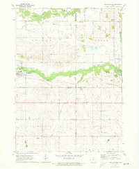
1971 · New Hartford
USGS Topo · 1:24,000

1972 · Allison
USGS Topo · 1:24,000

1979 · Butler Center
USGS Topo · 1:24,000
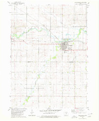
1980 · Parkersburg
USGS Topo · 1:24,000