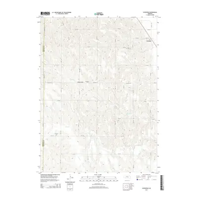
2014 Map of Cotesfield
USGS Topo · Published 2014About this map
The village of Cotesfield sits along the northeastern edge of this Nebraska landscape, flanked by the Cotesfield Reservoir and the intersection of Salem Rd and Tilden Rd. This survey documents a rural agricultural region primarily defined by its drainage systems and small community nodes. Further west, the settlement of Dannevirke serves as a local focal point, named for the nearby Dannevirke Cem.
Find a feature on this map
31 named features on this map. Tap any name to fly to it.
Don’t see what you’re looking for? This feature index may not catch every label — zoom into the map to look around manually.
Map Details
Editions of this 2014 Cotesfield Map
This is the sole edition of this map. No revisions or reprints were ever made.
Other maps of this area

1899 · Loup
USGS Topo · 1:125,000

1953 · Cotesfield
USGS Topo · 1:24,000

1953 · North Loup
USGS Topo · 1:24,000

1953 · Scotia NE
USGS Topo · 1:24,000

1953 · Scotia
USGS Topo · 1:24,000

1953 · Loup City SE
USGS Topo · 1:24,000

1953 · Farwell
USGS Topo · 1:24,000

1953 · Nysted
USGS Topo · 1:24,000

1953 · Ashton
USGS Topo · 1:24,000

1953 · Elba
USGS Topo · 1:24,000