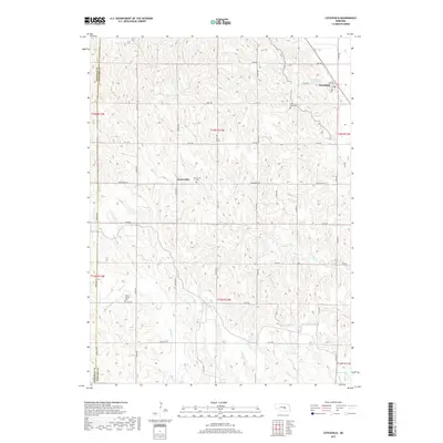
2017 Map of Cotesfield
USGS Topo · Published 2017About this map
Cotesfield and Dannevirke anchor this central Nebraska landscape, which is defined by the intricate dissection of the loess hills north of the Loup River. The settlement of Dannevirke reflects the region's Danish-American heritage, centered around the Dannevirke Cemetery and local road networks like Dannevirke Road. This topography is heavily influenced by the drainage patterns of Munson Creek, Turkey Creek, and Cow Creek, which carve deep, winding valleys through the higher elevations.
Find a feature on this map
36 named features on this map. Tap any name to fly to it.
Don’t see what you’re looking for? This feature index may not catch every label — zoom into the map to look around manually.
Map Details
Editions of this 2017 Cotesfield Map
This is the sole edition of this map. No revisions or reprints were ever made.
Other maps of this area

1899 · Loup
USGS Topo · 1:125,000

1953 · Cotesfield
USGS Topo · 1:24,000

1953 · North Loup
USGS Topo · 1:24,000

1953 · Scotia NE
USGS Topo · 1:24,000

1953 · Scotia
USGS Topo · 1:24,000

1953 · Loup City SE
USGS Topo · 1:24,000

1953 · Farwell
USGS Topo · 1:24,000

1953 · Nysted
USGS Topo · 1:24,000

1953 · Ashton
USGS Topo · 1:24,000

1953 · Elba
USGS Topo · 1:24,000