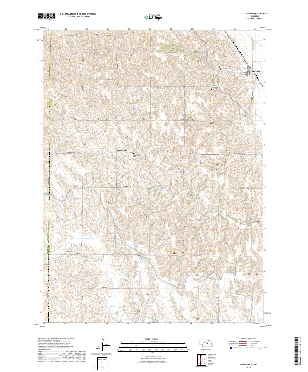
2021 Map of Cotesfield
USGS Topo · Published 2021About this map
The village of Cotesfield sits at the northeastern corner of this landscape, where the local economy and geography are defined by the winding paths of several prairie waterways. Tributaries like Munson Cr, Turkey Cr, and Cow Cr carve through the terrain, illustrating the drainage patterns that have historically shaped agriculture in Sherman and Howard Counties. The small settlement of Dannevirke serves as a secondary landmark in the central part of the quadrangle, reflecting the area's rural development and cultural heritage. Local history is anchored by several burial grounds, including Saint Mary Cem, Dannevirke Cem, and Mount Carmel Cem, which provide essential points of reference for genealogical research. The road network, structured by a grid of avenues such as Wausau Rd and Valley Rd, connects these scattered sites, while the Cotesfield Reservoir near the village suggests the importance of water management in this agricultural region.
Find a feature on this map
36 named features on this map. Tap any name to fly to it.
Don’t see what you’re looking for? This feature index may not catch every label — zoom into the map to look around manually.
Map Details
Editions of this 2021 Cotesfield Map
This is the sole edition of this map. No revisions or reprints were ever made.
Other maps of this area

1899 · Loup
USGS Topo · 1:125,000

1953 · Cotesfield
USGS Topo · 1:24,000

1953 · North Loup
USGS Topo · 1:24,000

1953 · Scotia NE
USGS Topo · 1:24,000

1953 · Scotia
USGS Topo · 1:24,000

1953 · Loup City SE
USGS Topo · 1:24,000

1953 · Farwell
USGS Topo · 1:24,000

1953 · Nysted
USGS Topo · 1:24,000

1953 · Ashton
USGS Topo · 1:24,000

1953 · Elba
USGS Topo · 1:24,000