
1959 Map of Cotopaxi
USGS Topo · Published 1961About this map
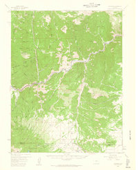
The Arkansas River carves a deep path through this central Colorado landscape, where the Denver and Rio Grande Western railroad tracks parallel the water through the Grand Canyon and past the junction at Texas Creek. This late 1950s survey documents the transition from the river valley's industrial and transit corridor to the high-elevation terrain of the San Isabel National Forest. To the south, the settlement of Hillside serves as a local hub for the Wet Mountain Valley, containing the Hillside Sch and Hillside Cem. High peaks and ridges like Democratic Mtn, Bear Mtn, and Garell Peak define the horizon, while the Rainbow Trail winds through the southern foothills. Traces of local enterprise are visible in scattered labels for a Quarry and Mine, alongside established ranching outposts like Trails End Ranch.
Find a feature on this map
87 named features on this map. Tap any name to fly to it.
Don’t see what you’re looking for? This feature index may not catch every label — zoom into the map to look around manually.
Map Details
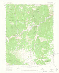
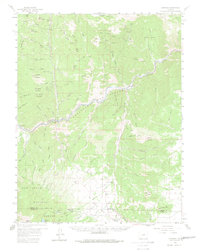
Editions of this 1959 Cotopaxi Map
5 editions found
Other maps of this area

1889 · Canon City
USGS Topo · 1:125,000

1892 · Canon City
USGS Topo · 1:125,000

1894 · Pikes Peak
USGS Topo · 1:125,000

1901 · Pikes Peak
USGS Topo · 1:125,000

1942 · Cover Mtn.
USGS Topo · 1:62,500

1948 · Cover Mtn.
USGS Topo · 1:62,500

1950 · Valley View Hot Springs
USGS Topo · 1:24,000

1954 · Pueblo
USGS Topo · 1:250,000

1955 · Westcliffe
USGS Topo · 1:24,000

1956 · Cameron Mountain
USGS Topo · 1:62,500