Loading...
Loading map...1962 Map of Cottage Grove
USGS Topo · Published 1981About this map
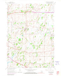
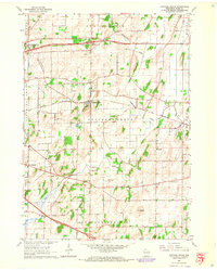
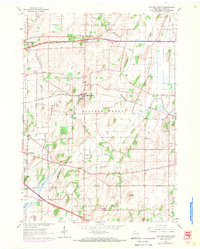
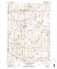
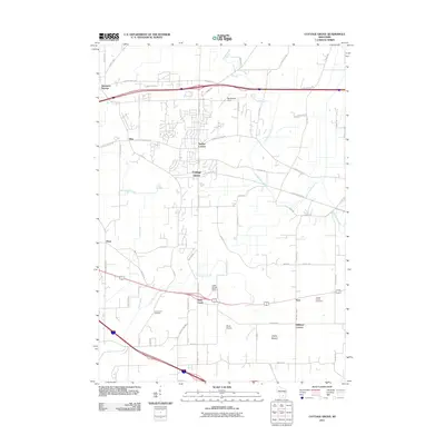
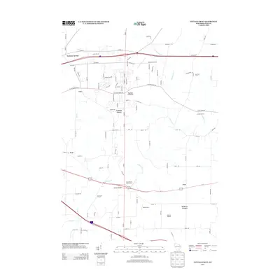
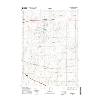
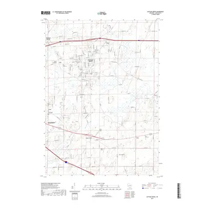
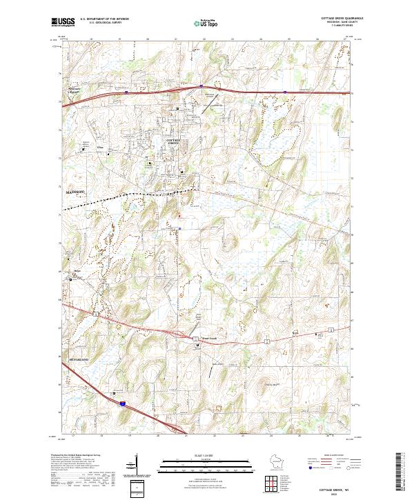
Cottage Grove serves as the central hub of this eastern Dane County landscape, where the Chicago and North Western railway lines cut through a patchwork of agricultural townships. The drainage patterns of Koshkonong Creek and Door Creek define the low-lying areas, punctuated by glacial remnants like the prominent Liberty Mound. To the east, the rural settlement of Nora sits near the Liberty Prairie Cem, providing a window into the area's early burial grounds and genealogy.
Find a feature on this map
24 named features on this map. Tap any name to fly to it.
Don’t see what you’re looking for? This feature index may not catch every label — zoom into the map to look around manually.
Map Details
Date Portrayed1962
Date Published1981
PublisherU.S. Geological Survey
Map TypeTopographic
Scale1:24,000
Physical Dimensions22 x 27.4 inches
Editions of this 1962 Cottage Grove Map
5 editions found

Historical Maps of Madison Through Time
6 maps found
Featured Locations
Source Details
SourceU.S. Geological Survey
CopyrightPublic Domain