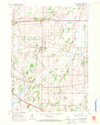
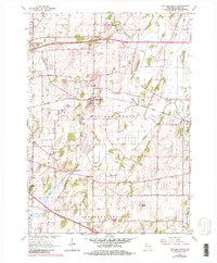
1962 Map of Cottage Grove
USGS Topo · Published 1970About this map
Cottage Grove serves as the central hub of this Dane County landscape during the early 1960s, situated at the intersection of local commerce and the Chicago and North Western rail line. The surrounding terrain is defined by a dense network of township boundaries including Sun Prairie, Deerfield, and Pleasant Springs. Glacial geography is evident through the numerous Gravel Pits and quarries that dot the countryside, while prominent landmarks like Liberty Mound rise above the drainage basins of Door Creek and Koshkonong Creek.
Find a feature on this map
26 named features on this map. Tap any name to fly to it.
Don’t see what you’re looking for? This feature index may not catch every label — zoom into the map to look around manually.
Map Details
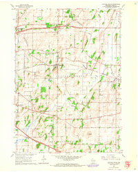
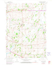
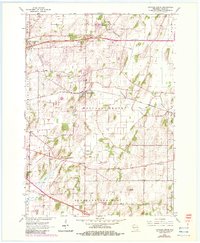
Editions of this 1962 Cottage Grove Map
5 editions found
Other maps of this area

1889 · Evansville
USGS Topo · 1:62,500

1890 · Madison
USGS Topo · 1:62,500

1890 · Sun Prairie
USGS Topo · 1:62,500

1890 · Stoughton
USGS Topo · 1:62,500

1892 · Madison
USGS Topo · 1:62,500

1894 · Evansville
USGS Topo · 1:62,500

1896 · Sun Prairie
USGS Topo · 1:62,500

1904 · Madison
USGS Topo · 1:62,500

1905 · Sun Prairie
USGS Topo · 1:62,500

1906 · Evansville
USGS Topo · 1:62,500