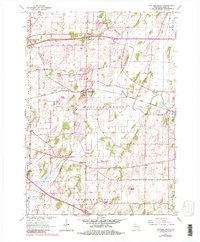
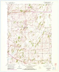
1962 Map of Cottage Grove
USGS Topo · Published 1983About this map
Cottage Grove and the surrounding Dane County landscape are captured in this mid-century survey, revised to show the suburban growth appearing by the early 1980s. The village is positioned along the Chicago and North Western railroad line, which served as a primary transit artery through the townships of Sun Prairie and Deerfield. The rural character of the area is defined by a network of drainage features like Koshkonong Creek and Door Creek, interspersed with numerous gravel pits that hint at the region's glacial geology and local industry. Genealogists will find significant value in the documentation of several local landmarks, including the Seminary Springs church, Liberty Prairie Cem, and Cottage Grove Cem. The presence of the Liberty Mound terrain feature in Pleasant Springs provides a distinctive point of interest for those studying the natural and cultural topography of south-central Wisconsin.
Find a feature on this map
24 named features on this map. Tap any name to fly to it.
Don’t see what you’re looking for? This feature index may not catch every label — zoom into the map to look around manually.
Map Details
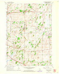
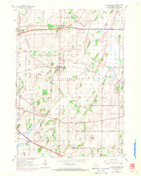
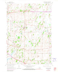
Editions of this 1962 Cottage Grove Map
5 editions found
Other maps of this area

1889 · Evansville
USGS Topo · 1:62,500

1890 · Madison
USGS Topo · 1:62,500

1890 · Sun Prairie
USGS Topo · 1:62,500

1890 · Stoughton
USGS Topo · 1:62,500

1892 · Madison
USGS Topo · 1:62,500

1894 · Evansville
USGS Topo · 1:62,500

1896 · Sun Prairie
USGS Topo · 1:62,500

1904 · Madison
USGS Topo · 1:62,500

1905 · Sun Prairie
USGS Topo · 1:62,500

1906 · Evansville
USGS Topo · 1:62,500