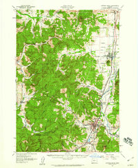
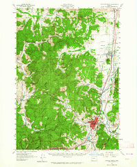
1957 Map of Cottage Grove
USGS Topo · Published 1960About this map
Cottage Grove serves as the primary hub in this late 1950s depiction of Lane County, where the Coast Fork Willamette River meets the Row River. The landscape is defined by a dense network of rural schools, including Twin Oaks School, Lynx Hollow School, and La Bleu School, highlighting the distributed nature of local education before further consolidation. Along the eastern corridor, the Southern Pacific railroad and Highway 99 parallel the river, connecting settlements like Creswell and Saginaw through the broad Camas Swale Creek valley.
Find a feature on this map
70 named features on this map. Tap any name to fly to it.
Don’t see what you’re looking for? This feature index may not catch every label — zoom into the map to look around manually.
Map Details
Editions of this 1957 Cottage Grove Map
2 editions found
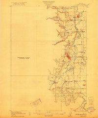
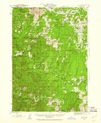
Other maps of this area

1909 · Elmira
USGS Topo · 1:62,500

1910 · Eugene
USGS Topo · 1:62,500

1921 · Cottage Grove
USGS Topo · 1:62,500
1922 · Elmira
USGS Topo · 1:62,500

1935 · Lowell
USGS Topo · 1:96,000

1940 · Eugene
USGS Topo · 1:62,500

1942 · Lowell
USGS Topo · 1:125,000

1942 · Elmira
USGS Topo · 1:62,500
1942 · Crow
USGS Topo · 1:62,500

1945 · Crow
USGS Topo · 1:62,500