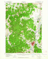
1957 Map of Cottage Grove
USGS Topo · Published 1964About this map
The Coast Fork Willamette River corridor serves as the primary artery for transport and settlement in this mid-century survey, with the Southern Pacific tracks and the Pacific Highway linking a chain of agricultural communities. Cottage Grove emerges as the regional hub, situated at the confluence of the Row River and the Coast Fork, where the Oregon Pacific and Eastern Railroad branches eastward. The map captures a high density of rural education infrastructure, including the Silk Creek School and Delight Valley School, reflecting the decentralized community life of the era.
Find a feature on this map
51 named features on this map. Tap any name to fly to it.
Don’t see what you’re looking for? This feature index may not catch every label — zoom into the map to look around manually.
Map Details
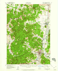
Editions of this 1957 Cottage Grove Map
2 editions found
Other maps of this area

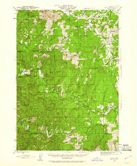
1909 · Elmira
USGS Topo · 1:62,500

1910 · Eugene
USGS Topo · 1:62,500

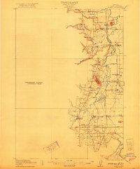
1921 · Cottage Grove
USGS Topo · 1:62,500
1922 · Elmira
USGS Topo · 1:62,500

1935 · Lowell
USGS Topo · 1:96,000

1940 · Eugene
USGS Topo · 1:62,500

1942 · Lowell
USGS Topo · 1:125,000

1942 · Elmira
USGS Topo · 1:62,500
1942 · Crow
USGS Topo · 1:62,500

1945 · Crow
USGS Topo · 1:62,500