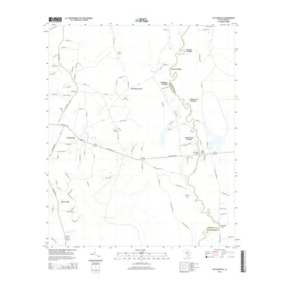
2014 Map of Cottageville
USGS Topo · Published 2014About this map
Cottageville serves as the primary hub in this Lowcountry landscape, situated where Cottageville Hwy meets the winding Edisto River. The river corridor defines the eastern boundary of Colleton Co and Dorchester Co, dotted with traditional river access points including Norman Landing, Prices Landing, and Goodhope Landing. These landings, along with Harts Bluff and Leveston Bluff, suggest a long-standing relationship between the local communities and the river's path.
Find a feature on this map
112 named features on this map. Tap any name to fly to it.
Don’t see what you’re looking for? This feature index may not catch every label — zoom into the map to look around manually.
Map Details
Editions of this 2014 Cottageville Map
This is the sole edition of this map. No revisions or reprints were ever made.
Other maps of this area

1918 · Walterboro
USGS Topo · 1:62,500

1918 · Cottageville
USGS Topo · 1:62,500

1919 · Ridgeville
USGS Topo · 1:48,000

1920 · Ridgeville
USGS Topo · 1:62,500

1920 · St. George
USGS Topo · 1:48,000

1921 · St. George
USGS Topo · 1:62,500

1943 · Cottageville
USGS Topo · 1:62,500

1943 · Orangeburg
USGS Topo · 1:125,000

1943 · Walterboro
USGS Topo · 1:62,500

1943 · Ridgeville
USGS Topo · 1:62,500