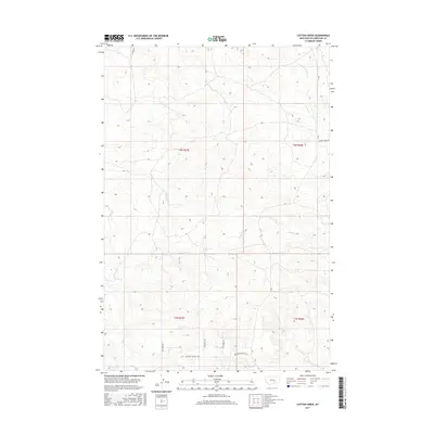
2017 Map of Cotton Creek
USGS Topo · Published 2017About this map
Cotton Cr and its tributaries carve a network of drainages across this Yellowstone County landscape, defining the rural character of the region. The map reveals a high-plains topography where land-use patterns are marked by long, straight rural routes such as Sand Rock Rd and Otis Creek Rd. This area is characterized by open terrain where named paths like Pleasant Hollow Trl and Peaceful Plateau Trl suggest a modern layer of recreational or residential naming atop the older township and range grid. Water is the primary geographic anchor, with Pompeys Pillar Cr in the north and Rock Cr to the east providing the most significant relief. The absence of dense town sites highlights a specifically agrarian and ranch-oriented development pattern typical of Montana's high country in the early 21st century.
Find a feature on this map
17 named features on this map. Tap any name to fly to it.
Don’t see what you’re looking for? This feature index may not catch every label — zoom into the map to look around manually.
Map Details
Editions of this 2017 Cotton Creek Map
This is the sole edition of this map. No revisions or reprints were ever made.
Other maps of this area

1893 · Huntley
USGS Topo · 1:125,000

1954 · Billings
USGS Topo · 1:250,000

1954 · Roundup
USGS Topo · 1:250,000

1956 · Rattlesnake Butte
USGS Topo · 1:24,000

1956 · Huntley
USGS Topo · 1:24,000

1957 · Billings
USGS Topo · 1:250,000

1958 · Billings
USGS Topo · 1:250,000

1958 · Roundup
USGS Topo · 1:250,000

1967 · Worden
USGS Topo · 1:24,000

1979 · Roundup
USGS Topo · 1:100,000