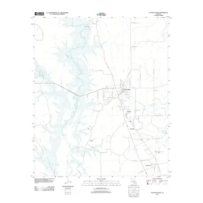
2012 Map of Cotton Valley
USGS Topo · Published 2012About this map
Cotton Valley serves as the central hub of this north Louisiana landscape, where the town's street grid meets rural arterial roads like Sikes Ferry Rd and Hwy 160. The region is defined by its transition from the wetland systems of Bodcau Cr and Coile Pond in the west to a more dispersed agricultural and timberland pattern in the east. Numerous small communities and points of interest are scattered along the north-south transit corridors, including Dayson, Treat, Invincible, and Ecco.
Find a feature on this map
77 named features on this map. Tap any name to fly to it.
Don’t see what you’re looking for? This feature index may not catch every label — zoom into the map to look around manually.
Map Details
Editions of this 2012 Cotton Valley Map
This is the sole edition of this map. No revisions or reprints were ever made.
Other maps of this area

1922 · Sarepta
USGS Topo · 1:62,500

1924 · Sarepta
USGS Topo · 1:62,500

1932 · Bossier NE
USGS Topo · 1:31,680

1947 · Minden
USGS Topo · 1:62,500

1948 · Bossier City
USGS Topo · 1:62,500

1949 · Minden
USGS Topo · 1:62,500

1950 · Plain Dealing NE
USGS Topo · 1:31,680

1950 · Plain Dealing SE
USGS Topo · 1:31,680

1953 · Carterville
USGS Topo · 1:24,000

1955 · Shreveport
USGS Topo · 1:250,000