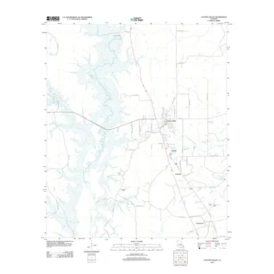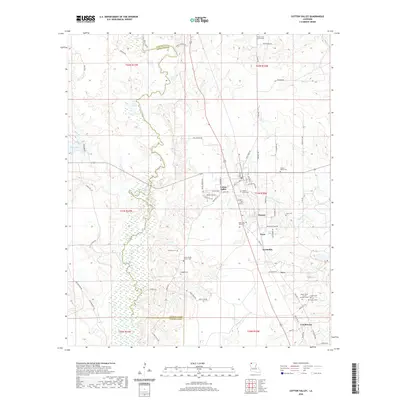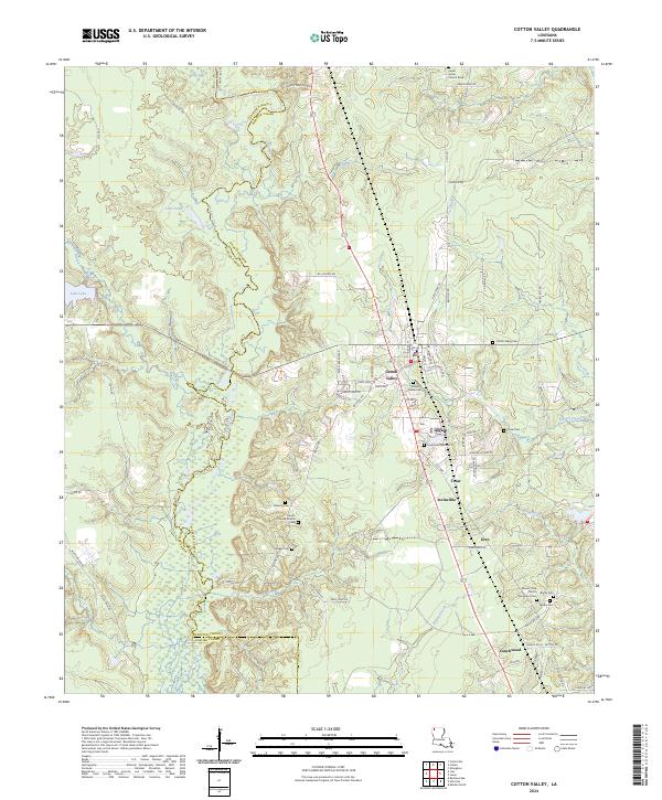
2024 Map of Cotton Valley
USGS Topo · Published 2024About this map
Cotton Valley serves as the central hub of this northern Louisiana landscape, situated where the terrain begins to slope toward the wetlands of the Bossier-Webster Parish line. The map reveals a dense network of smaller communities and rural junctions, including Dayson, Treat, and the southernmost settlement of Couchwood. The area is particularly rich in genealogical sites, featuring numerous family and community burial grounds such as Wesley Grove Cem, Coyle Cem Number 2, and Sandin Cem.
Find a feature on this map
78 named features on this map. Tap any name to fly to it.
Don’t see what you’re looking for? This feature index may not catch every label — zoom into the map to look around manually.
Map Details
Editions of this 2024 Cotton Valley Map
This is the sole edition of this map. No revisions or reprints were ever made.
Historical Maps of Cotton Valley Through Time
6 maps found