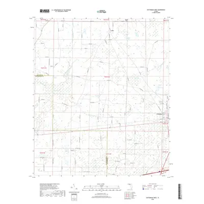
2018 Map of Cottondale West
USGS Topo · Published 2018About this map
Cottondale serves as a focal point at the junction of several township lines, positioned near the eastern edge of this landscape where the Jackson Co Washington Co boundary cuts through the southern portion. The area is characterized by an extensive network of cypress bays and ponds, such as Drummond Bay, Melvin Bay, and Holland Pond, which feed into local drainage systems like Gilberts Mill Cr and Russ Mill Cr.
Find a feature on this map
94 named features on this map. Tap any name to fly to it.
Don’t see what you’re looking for? This feature index may not catch every label — zoom into the map to look around manually.
Map Details
Editions of this 2018 Cottondale West Map
This is the sole edition of this map. No revisions or reprints were ever made.
Other maps of this area

1950 · Chipley
USGS Topo · 1:24,000

1950 · Wausau
USGS Topo · 1:24,000

1951 · Graceville
USGS Topo · 1:24,000

1951 · Chipley
USGS Topo · 1:24,000

1951 · Wausau
USGS Topo · 1:24,000

1952 · Kynesville
USGS Topo · 1:24,000

1952 · Cottondale East
USGS Topo · 1:24,000

1952 · Campbellton
USGS Topo · 1:24,000

1952 · Cottondale West
USGS Topo · 1:24,000

1952 · Sills
USGS Topo · 1:24,000