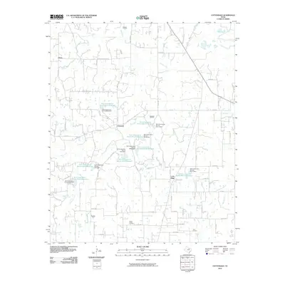
2010 Map of Cottondale
USGS Topo · Published 2010About this map
Cottondale and the surrounding rural landscape in Wise County are defined by a network of drainage systems and extensive water management projects in this 2010 study. The terrain is crisscrossed by several prominent watercourses, including Garrett Creek, Salt Creek, and Cottonwood Creek, which feed into numerous reservoirs managed by the Soil Conservation Service. These man-made bodies of water, such as Soil Conservation Service Site 9 Reservoir and Soil Conservation Service Site 10 Reservoir, reveal the critical role of flood control and agricultural water storage in this part of North Texas.
Find a feature on this map
83 named features on this map. Tap any name to fly to it.
Don’t see what you’re looking for? This feature index may not catch every label — zoom into the map to look around manually.
Map Details
Editions of this 2010 Cottondale Map
This is the sole edition of this map. No revisions or reprints were ever made.
Other maps of this area

1891 · Weatherford
USGS Topo · 1:125,000

1893 · Weatherford
USGS Topo · 1:125,000

1924 · Sunset 4-d
USGS Topo · 1:48,000

1930 · Boyd
USGS Topo · 1:62,500

1932 · Springtown
USGS Topo · 1:62,500

1954 · Dallas
USGS Topo · 1:250,000

1954 · Sherman
USGS Topo · 1:250,000

1955 · Azle
USGS Topo · 1:24,000

1958 · Dallas
USGS Topo · 1:250,000

1958 · Sherman
USGS Topo · 1:250,000