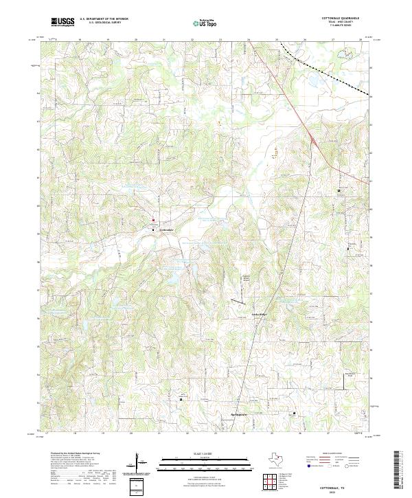
2022 Map of Cottondale
USGS Topo · Published 2022This historical map portrays the area of Cottondale in 2022, primarily covering Wise County. Featuring a scale of 1:24000, this map provides a highly detailed snapshot of the terrain, roads, buildings, counties, and historical landmarks in the Cottondale region at the time. Published in 2022, it is the sole known edition of this map.
Map Details
Editions of this 2022 Cottondale Map
This is the sole edition of this map. No revisions or reprints were ever made.
Historical Maps of Lucky Ridge Through Time
17 maps found
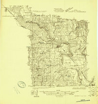
1924 Sunset 4-d
Wise County, TX
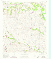
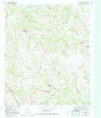
1960 Bluett
Wise County, TX
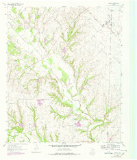
1960 Boonsville
Wise County, TX
1960 Bridgeport East
Wise County, TX
1960 Bridgeport West
Wise County, TX
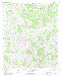
1960 Cottondale
Wise County, TX
1961 Greenwood
Wise County, TX
1961 Pecan Creek
Wise County, TX
1961 Slidell
Wise County, TX
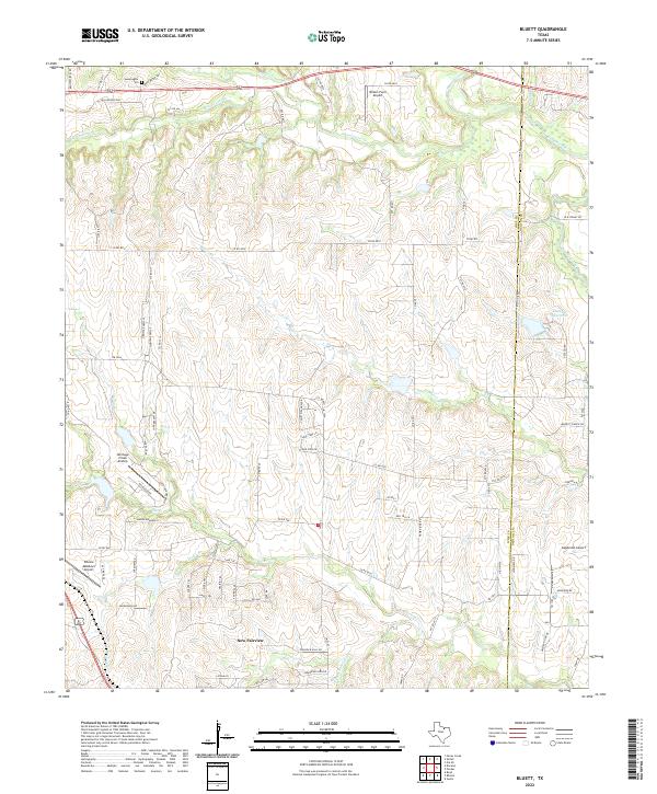
2022 Bluett
Wise County, TX
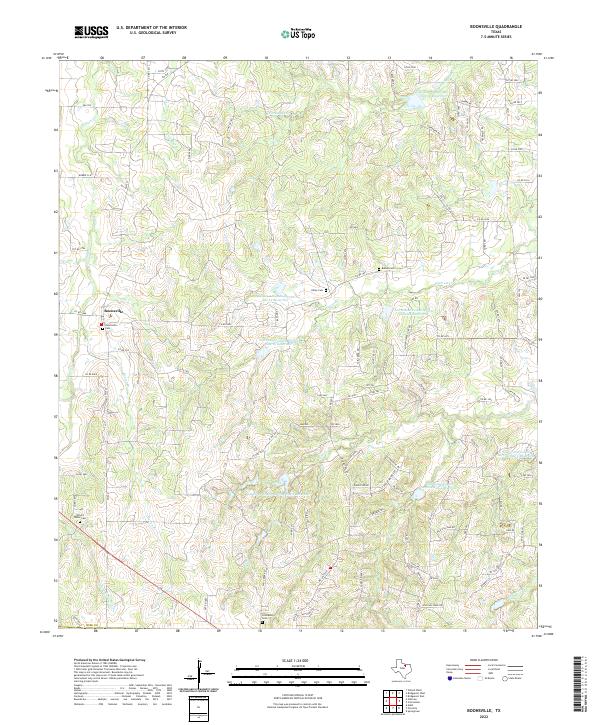
2022 Boonsville
Wise County, TX
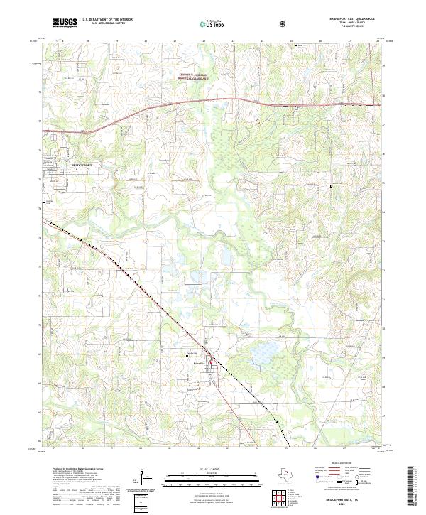
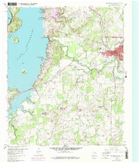
2022 Bridgeport East
Wise County, TX
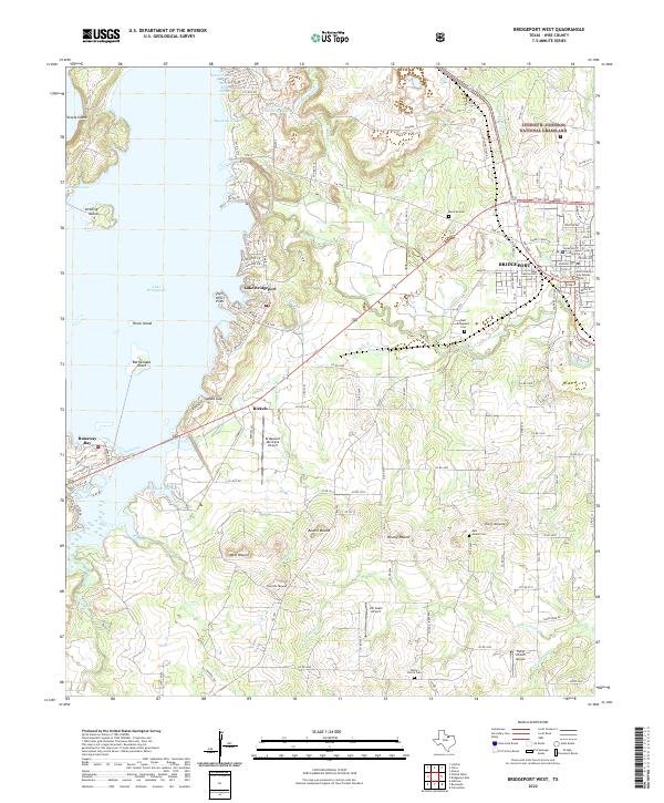
2022 Bridgeport West
Wise County, TX
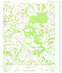
2022 Cottondale
Wise County, TX
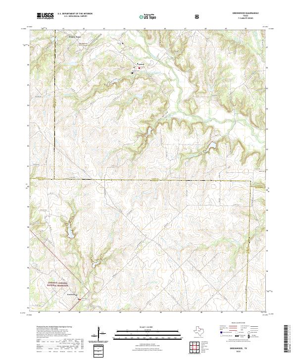
2022 Greenwood
Wise County, TX
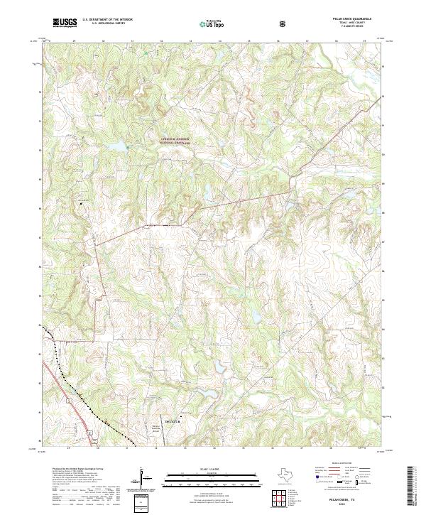
2022 Pecan Creek
Wise County, TX
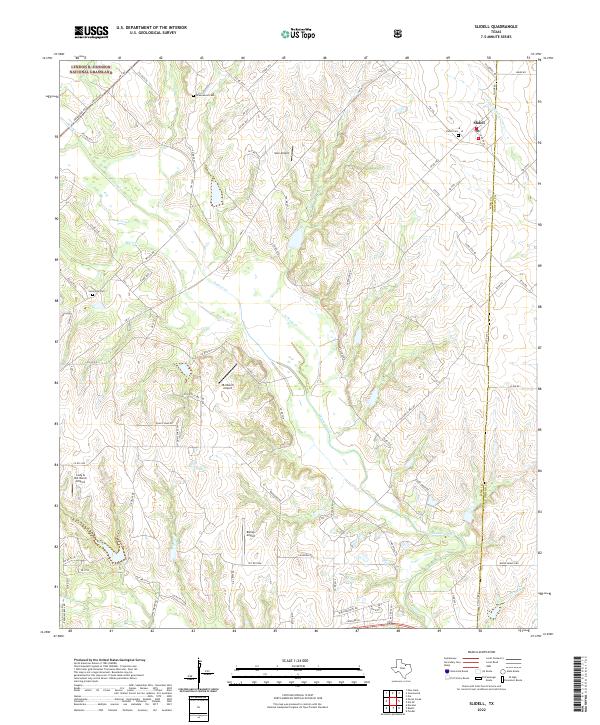
2022 Slidell
Wise County, TX