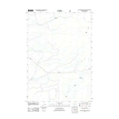
2012 Map of Cottonwood Canyon
USGS Topo · Published 2012About this map
Cottonwood Canyon and the surrounding drainage systems of the Big Horn Basin define this 2012 topography. The map illustrates a complex network of ephemeral and perennial water sources, including the cascading Melody Falls and several strategically located springs such as Harmon Springs and Moncur Springs. This landscape is fundamentally shaped by its water management and natural runoff patterns, visible in features like the High Ditch irrigation infrastructure and the Five Springs Number 1 Reservoir.
Find a feature on this map
17 named features on this map. Tap any name to fly to it.
Don’t see what you’re looking for? This feature index may not catch every label — zoom into the map to look around manually.
Map Details
Editions of this 2012 Cottonwood Canyon Map
This is the sole edition of this map. No revisions or reprints were ever made.
Other maps of this area

1898 · Bald Mountain
USGS Topo · 1:125,000

1901 · Bald Mountain
USGS Topo · 1:125,000

1955 · Cody
USGS Topo · 1:250,000

1955 · Sheridan
USGS Topo · 1:250,000

1958 · Cody
USGS Topo · 1:250,000

1958 · Sheridan
USGS Topo · 1:250,000

1960 · Medicine Wheel
USGS Topo · 1:24,000

1960 · Mexican Hill
USGS Topo · 1:24,000

1960 · Bear Creek Ranch
USGS Topo · 1:24,000

1962 · Sheridan
USGS Topo · 1:250,000