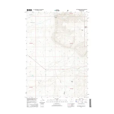
2015 Map of Cottonwood Canyon
USGS Topo · Published 2015About this map
Bighorn National Forest dominates the eastern landscape of this Big Horn County quadrangle, where steep elevation changes are marked by dramatic geological formations. The topography is defined by the deep incisions of Cottonwood Canyon and Rainbow Canyon, which channel seasonal water from the high Lowmiller Bench. Water management in this arid environment is evident through features like the High Ditch and the Five Springs Number 1 Reservoir, supporting the land below the mountain front.
Find a feature on this map
26 named features on this map. Tap any name to fly to it.
Don’t see what you’re looking for? This feature index may not catch every label — zoom into the map to look around manually.
Map Details
Editions of this 2015 Cottonwood Canyon Map
This is the sole edition of this map. No revisions or reprints were ever made.
Other maps of this area

1898 · Bald Mountain
USGS Topo · 1:125,000

1901 · Bald Mountain
USGS Topo · 1:125,000

1955 · Cody
USGS Topo · 1:250,000

1955 · Sheridan
USGS Topo · 1:250,000

1958 · Cody
USGS Topo · 1:250,000

1958 · Sheridan
USGS Topo · 1:250,000

1960 · Medicine Wheel
USGS Topo · 1:24,000

1960 · Mexican Hill
USGS Topo · 1:24,000

1960 · Bear Creek Ranch
USGS Topo · 1:24,000

1962 · Sheridan
USGS Topo · 1:250,000