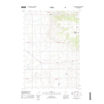
2017 Map of Cottonwood Canyon
USGS Topo · Published 2017About this map
Cottonwood Canyon and the eastern slopes of the Bighorn National Forest dominate this 2017 topographic survey. The landscape is defined by its dramatic relief and critical water sources, including the isolated Harmon Springs and the plunging Melody Falls. These features, along with Five Springs Number 1 Reservoir, indicate the historical importance of water management for livestock and conservation in this part of Big Horn County.
Find a feature on this map
21 named features on this map. Tap any name to fly to it.
Don’t see what you’re looking for? This feature index may not catch every label — zoom into the map to look around manually.
Map Details
Editions of this 2017 Cottonwood Canyon Map
This is the sole edition of this map. No revisions or reprints were ever made.
Other maps of this area

1898 · Bald Mountain
USGS Topo · 1:125,000

1901 · Bald Mountain
USGS Topo · 1:125,000

1955 · Cody
USGS Topo · 1:250,000

1955 · Sheridan
USGS Topo · 1:250,000

1958 · Cody
USGS Topo · 1:250,000

1958 · Sheridan
USGS Topo · 1:250,000

1960 · Medicine Wheel
USGS Topo · 1:24,000

1960 · Mexican Hill
USGS Topo · 1:24,000

1960 · Bear Creek Ranch
USGS Topo · 1:24,000

1962 · Sheridan
USGS Topo · 1:250,000