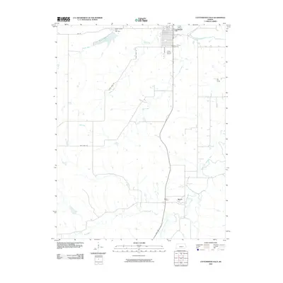
2009 Map of Cottonwood Falls
USGS Topo · Published 2009About this map
Cottonwood Falls serves as the focal point of this Chase County landscape, situated where the Cottonwood River flows through the northern reaches of the Flint Hills. The town’s grid, featuring streets like Walnut St and 8th St, is complemented by the nearby Chase County Airport. The terrain to the south is defined by the winding course of the South Fork Cottonwood River, which passes the small settlement of Bazaar. This area reflects a classic Kansas pastoral character, dominated by watercourses like Buck Creek and Rock Creek rather than dense development.
Find a feature on this map
21 named features on this map. Tap any name to fly to it.
Don’t see what you’re looking for? This feature index may not catch every label — zoom into the map to look around manually.
Map Details
Editions of this 2009 Cottonwood Falls Map
This is the sole edition of this map. No revisions or reprints were ever made.
Other maps of this area

1888 · Emporia
USGS Topo · 1:125,000

1894 · Emporia
USGS Topo · 1:125,000

1898 · Cottonwood Falls
USGS Topo · 1:125,000

1955 · Hutchinson
USGS Topo · 1:250,000

1957 · Elmdale
USGS Topo · 1:24,000

1957 · Strong City
USGS Topo · 1:24,000

1957 · Saffordville
USGS Topo · 1:24,000

1957 · Hymer
USGS Topo · 1:24,000

1959 · Hutchinson
USGS Topo · 1:250,000

1973 · Matfield Green
USGS Topo · 1:24,000