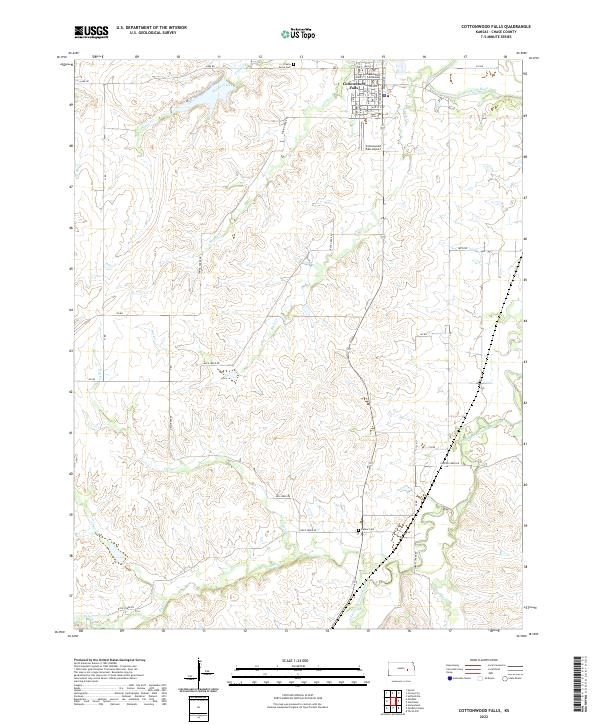
2022 Map of Cottonwood Falls
USGS Topo · Published 2022About this map
Cottonwood Falls serves as the focal point of this Chase County landscape, where the iconic Chase County Courthouse stands at the head of Main St. The town's grid is bounded by the winding Cottonwood River, which snakes through the northern sections of the map. This area of the Flint Hills is characterized by a dense network of drainages including Prather Creek, Spring Cr, and Buck Cr, illustrating the complex hydrology that feeds into the larger river systems.
Find a feature on this map
52 named features on this map. Tap any name to fly to it.
Don’t see what you’re looking for? This feature index may not catch every label — zoom into the map to look around manually.
Map Details
Editions of this 2022 Cottonwood Falls Map
This is the sole edition of this map. No revisions or reprints were ever made.
Other maps of this area

1888 · Emporia
USGS Topo · 1:125,000

1894 · Emporia
USGS Topo · 1:125,000

1898 · Cottonwood Falls
USGS Topo · 1:125,000

1955 · Hutchinson
USGS Topo · 1:250,000

1957 · Elmdale
USGS Topo · 1:24,000

1957 · Strong City
USGS Topo · 1:24,000

1957 · Saffordville
USGS Topo · 1:24,000

1957 · Hymer
USGS Topo · 1:24,000

1959 · Hutchinson
USGS Topo · 1:250,000

1973 · Matfield Green
USGS Topo · 1:24,000