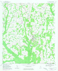
1969 Map of Cottonwood
USGS Topo · Published 1981About this map
The town of Cottonwood anchors this southeastern Alabama landscape near the Florida border, serving as a hub for the surrounding agricultural and creek-bank settlements. Field checked in 1969, the topography reveals a rural network of family and community landmarks, such as Harpers Joy Ch and the neighboring Keytons. The presence of several small houses of worship, including St Marys Ch, Union Hill Ch, and Mt Zion Ch, indicates a decentralized population tied strongly to local congregations.
Find a feature on this map
32 named features on this map. Tap any name to fly to it.
Don’t see what you’re looking for? This feature index may not catch every label — zoom into the map to look around manually.
Map Details
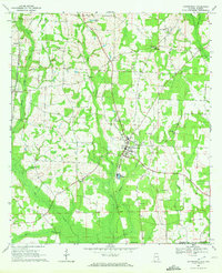
Editions of this 1969 Cottonwood Map
2 editions found
Other maps of this area

1952 · Malone
USGS Topo · 1:24,000

1952 · Campbellton
USGS Topo · 1:24,000

1952 · Sills
USGS Topo · 1:24,000

1953 · Dothan
USGS Topo · 1:250,000

1954 · Dothan
USGS Topo · 1:250,000

1954 · Tallahassee
USGS Topo · 1:250,000

1955 · Dothan
USGS Topo · 1:250,000

1959 · Tallahassee
USGS Topo · 1:250,000

1960 · Tallahassee
USGS Topo · 1:250,000

1969 · Dothan East
USGS Topo · 1:24,000