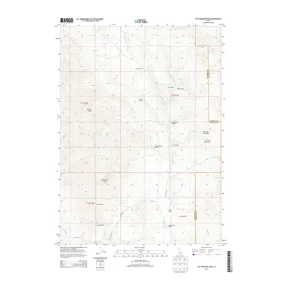
2013 Map of Cottonwood Peak
USGS Topo · Published 2013About this map
Cottonwood Peak rises as the central topographic anchor in this 2013 survey of the high country where Bannock, Caribou, and Franklin counties meet. The landscape is defined by the sharp ridges of the Portneuf Range, cut by deep drainages such as Walker Gulch and Bullwhacker Canyon. In the lower elevations, Cottonwood Valley reveals the essential water management of the region, specifically the Treasureton Canal and the headwaters of Cottonwood Creek. The map documents a rugged interior geography of Idaho, noting local landmarks like Hog Wallow and Time Spring. Several forks of Mill Canyon and various hollows, including Mine Hollow and Trough Hollow, illustrate the complex drainage patterns that feed into Dempsey Creek and the surrounding basins. This edition captures the rural road network, including South Cottonwood Road and Lone Pine Road, providing a contemporary view of the intersection between human infrastructure and difficult terrain.
Find a feature on this map
38 named features on this map. Tap any name to fly to it.
Don’t see what you’re looking for? This feature index may not catch every label — zoom into the map to look around manually.
Map Details
Editions of this 2013 Cottonwood Peak Map
This is the sole edition of this map. No revisions or reprints were ever made.
Other maps of this area

1915 · Preston
USGS Topo · 1:96,000

1918 · Preston
USGS Topo · 1:125,000

1948 · Bancroft
USGS Topo · 1:62,500

1949 · Bancroft
USGS Topo · 1:62,500

1954 · Pocatello
USGS Topo · 1:250,000

1955 · Preston
USGS Topo · 1:250,000

1958 · Pocatello
USGS Topo · 1:250,000

1958 · Preston
USGS Topo · 1:250,000

1962 · Preston
USGS Topo · 1:250,000

1968 · Oxford
USGS Topo · 1:24,000