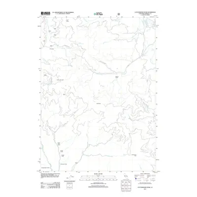
2012 Map of Cottonwood Peak
USGS Topo · Published 2012About this map
Cottonwood Peak and Bullion Mountain dominate the terrain of this northern California landscape, which is defined by a dense network of watercourses and deep gulches. The drainage system is anchored by Cottonwood Creek and its many tributaries, including West Cottonwood Creek and Empire Creek. Significant natural water sources like Maple Grove Spring, Soda Spring, and the curiously named Fountain of Youth Spring indicate the region's hydrogeology.
Find a feature on this map
48 named features on this map. Tap any name to fly to it.
Don’t see what you’re looking for? This feature index may not catch every label — zoom into the map to look around manually.
Map Details
Editions of this 2012 Cottonwood Peak Map
This is the sole edition of this map. No revisions or reprints were ever made.
Other maps of this area

1886 · Shasta
USGS Topo · 1:250,000

1891 · Ashland
USGS Topo · 1:250,000

1893 · Ashland
USGS Topo · 1:250,000

1894 · Shasta
USGS Topo · 1:250,000

1897 · Ashland
USGS Topo · 1:250,000

1932 · Yreka
USGS Topo · 1:96,000

1938 · Medford
USGS Topo · 1:125,000

1939 · Yreka
USGS Topo · 1:125,000

1948 · Weed
USGS Topo · 1:250,000

1950 · Weed
USGS Topo · 1:250,000