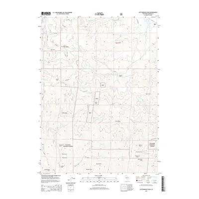
2015 Map of Cottonwood Peak
USGS Topo · Published 2015About this map
Hilt stands as the primary settlement on the northern edge of this Siskiyou County landscape, situated where the terrain begins to climb into the Klamath National Forest. The geography is defined by a dense network of watercourses and canyons, including Beaver Cr, Hungry Cr, and Empire Cr. Notable industrial and geological markers are scattered throughout the hills, such as the Clay Mine near Hungry Rdg and the distinctive Shaft Rock further south.
Find a feature on this map
47 named features on this map. Tap any name to fly to it.
Don’t see what you’re looking for? This feature index may not catch every label — zoom into the map to look around manually.
Map Details
Editions of this 2015 Cottonwood Peak Map
This is the sole edition of this map. No revisions or reprints were ever made.
Other maps of this area

1886 · Shasta
USGS Topo · 1:250,000

1891 · Ashland
USGS Topo · 1:250,000

1893 · Ashland
USGS Topo · 1:250,000

1894 · Shasta
USGS Topo · 1:250,000

1897 · Ashland
USGS Topo · 1:250,000

1932 · Yreka
USGS Topo · 1:96,000

1938 · Medford
USGS Topo · 1:125,000

1939 · Yreka
USGS Topo · 1:125,000

1948 · Weed
USGS Topo · 1:250,000

1950 · Weed
USGS Topo · 1:250,000