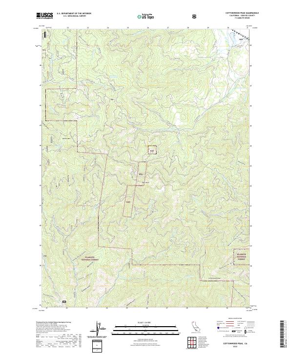
2022 Map of Cottonwood Peak
USGS Topo · Published 2022About this map
Hilt sits in the northeast corner of this Siskiyou County landscape, a community defined by its proximity to the Klamath National Forest and the Rogue River Natl Forest. The terrain is deeply incised by a network of gulches and creeks, including Rocky Point Gulch, Devils Gulch, and Woodchopper Gulch, names that suggest a history of prospecting and timber harvesting. High points like Cottonwood Peak and Bullion Mtn anchor the topography, while landmarks such as Shaft Rock offer specific navigational reference points for those exploring the backcountry.
Find a feature on this map
57 named features on this map. Tap any name to fly to it.
Don’t see what you’re looking for? This feature index may not catch every label — zoom into the map to look around manually.
Map Details
Editions of this 2022 Cottonwood Peak Map
This is the sole edition of this map. No revisions or reprints were ever made.
Other maps of this area

1886 · Shasta
USGS Topo · 1:250,000

1891 · Ashland
USGS Topo · 1:250,000

1893 · Ashland
USGS Topo · 1:250,000

1894 · Shasta
USGS Topo · 1:250,000

1897 · Ashland
USGS Topo · 1:250,000

1932 · Yreka
USGS Topo · 1:96,000

1938 · Medford
USGS Topo · 1:125,000

1939 · Yreka
USGS Topo · 1:125,000

1948 · Weed
USGS Topo · 1:250,000

1950 · Weed
USGS Topo · 1:250,000