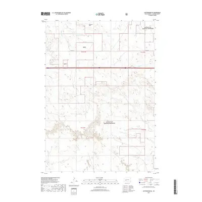
2017 Map of Cottonwood SE
USGS Topo · Published 2017About this map
Buffalo Gap National Grassland dominates this section of Jackson County, South Dakota, representing a vast expanse of public grazing lands managed for conservation and agricultural use. The landscape is defined by the drainage patterns of Big Buffalo Cr and Little Buffalo Cr, which carve through the prairie terrain in the northern sections. To the south, the topography becomes more complex as Fifteen Cr meanders through more broken ground. The map details the rural infrastructure of the early 21st century, centered on Fairview Rd and the prominent elevation of Washburn Ridge. This survey provides a precise view of section lines and township boundaries, such as t2s r19e, which are essential for understanding local land ownership and the historical Public Land Survey System in the Great Plains.
Find a feature on this map
11 named features on this map. Tap any name to fly to it.
Don’t see what you’re looking for? This feature index may not catch every label — zoom into the map to look around manually.
Map Details
Editions of this 2017 Cottonwood SE Map
This is the sole edition of this map. No revisions or reprints were ever made.
Other maps of this area

1950 · Interior
USGS Topo · 1:24,000

1950 · Weta
USGS Topo · 1:24,000

1951 · Wanblee NW
USGS Topo · 1:24,000

1951 · School Section Butte
USGS Topo · 1:24,000

1953 · Philip Junction
USGS Topo · 1:24,000

1955 · Martin
USGS Topo · 1:250,000

1958 · Martin
USGS Topo · 1:250,000

1960 · Cottonwood SW
USGS Topo · 1:24,000

1961 · Cottonwood
USGS Topo · 1:24,000

1961 · Cottonwood NE
USGS Topo · 1:24,000