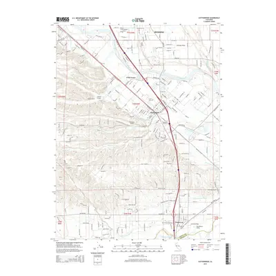
2015 Map of Cottonwood
USGS Topo · Published 2015About this map
The Sacramento River meanders through this section of the north Sacramento Valley, shaping the development of Anderson and Cottonwood along the Southern Pacific rail corridor. This mid-2010s survey reveals a landscape where historical water management, such as the Anderson Cottonwood Canal, remains integral to the agricultural character of areas like Stillwater Plains and Churn Creek Bottom. The town of Cottonwood sits at the southern edge, marking the Shasta and Tehama County line where Cottonwood Creek meets the river. Local heritage is preserved in sites like the Oddfellows Cemetery in Anderson and the Cottonwood Cemetery to the south. From the residential expansion of El Rio Estates to the natural drainages of Spanish Canyon and Spring Gulch, the map illustrates the transition from the city of Redding into the productive valley floor.
Find a feature on this map
211 named features on this map. Tap any name to fly to it.
Don’t see what you’re looking for? This feature index may not catch every label — zoom into the map to look around manually.
Map Details
Editions of this 2015 Cottonwood Map
This is the sole edition of this map. No revisions or reprints were ever made.
Other maps of this area

1890 · Red Bluff
USGS Topo · 1:250,000

1894 · Red Bluff
USGS Topo · 1:250,000

1901 · Redding
USGS Topo · 1:125,000

1932 · Olinda
USGS Topo · 1:31,680

1935 · Olinda
USGS Topo · 1:31,680

1944 · Redding
USGS Topo · 1:62,500

1944 · Tuscan Buttes
USGS Topo · 1:62,500

1946 · Redding
USGS Topo · 1:62,500

1947 · Tuscan Buttes
USGS Topo · 1:62,500

1947 · Anderson
USGS Topo · 1:62,500