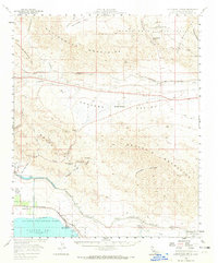
1958 Map of Cottonwood Spring
USGS Topo · Published 1965About this map
The Colorado River Aqueduct and its complex system of tunnels dominate the northern landscape of this Riverside County region, showcasing the mid-century infrastructure required to move water across the desert. To the south, the shoreline of the Salton Sea meets the Coachella Canal, defining the agricultural and recreational boundary near Desert Beach. The map details a rugged transition from the Cottonwood Mountains and Joshua Tree National Monument in the north down through the Shavers Valley to the Mecca Hills. Resource extraction and desert survival are evident in the presence of the Mastodon Mine and Coyote Mine, as well as vital water stops like Cottonwood Spring and Shavers Well. This survey documents the intersection of heavy transit and tribal lands, including the Torres Martinez Ind Res and the Southern Pacific railroad line.
Find a feature on this map
48 named features on this map. Tap any name to fly to it.
Don’t see what you’re looking for? This feature index may not catch every label — zoom into the map to look around manually.
Map Details
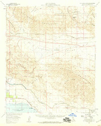
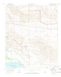
Editions of this 1958 Cottonwood Spring Map
3 editions found
Other maps of this area

1904 · Indio
USGS Topo · 1:125,000

1931 · Vallecito
USGS Topo · 1:125,000

1940 · Frink
USGS Topo · 1:62,500

1940 · Cottonwood Spring
USGS Topo · 1:62,500

1940 · Canyon Spring
USGS Topo · 1:62,500

1940 · Durmid
USGS Topo · 1:62,500

1941 · Coachella
USGS Topo · 1:62,500

1942 · Agua Dulce
USGS Topo · 1:62,500

1943 · Vallecito
USGS Topo · 1:125,000

1943 · Canyon Spring
USGS Topo · 1:62,500