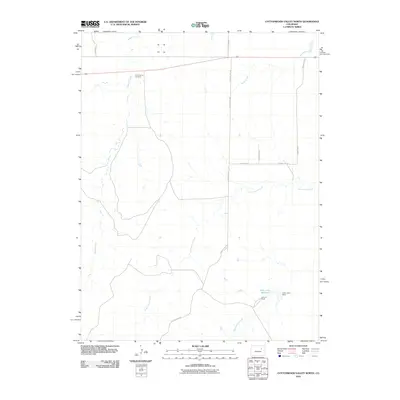
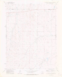
2010 Map of Cottonwood Valley North
USGS Topo · Published 2010About this map
Jolly Family Cemetery sits as a quiet landmark within this high plains landscape of Arapahoe County, southeast of the Denver metropolitan area. The topography is defined by the ephemeral drainages of Badger Creek and Cottonwood Creek, which carve gentle pathways through the open ranching country. At the southern end of the map, the Jolly John Reservoir and the accompanying Jolly John Dam illustrate the essential role of water management in this arid region, providing a focal point for the nearby Arrow K Ranch.
Find a feature on this map
16 named features on this map. Tap any name to fly to it.
Don’t see what you’re looking for? This feature index may not catch every label — zoom into the map to look around manually.
Map Details
Editions of this 2010 Cottonwood Valley North Map
This is the sole edition of this map. No revisions or reprints were ever made.
Other maps of this area

1954 · Limon
USGS Topo · 1:250,000

1957 · Limon
USGS Topo · 1:250,000

1958 · Limon
USGS Topo · 1:250,000
1969 · Noonen Reservoir SW
USGS Topo · 1:24,000
1969 · Noonen Reservoir
USGS Topo · 1:24,000

1973 · Last Chance SW
USGS Topo · 1:24,000
1973 · Cottonwood Valley South
USGS Topo · 1:24,000

1973 · Last Chance NW
USGS Topo · 1:24,000
1973 · Cottonwood Valley North
USGS Topo · 1:24,000

1973 · Wetzel Creek
USGS Topo · 1:24,000