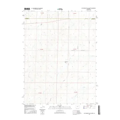
2016 Map of Cottonwood Valley North
USGS Topo · Published 2016About this map
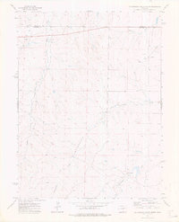
The Cottonwood Valley landscape of eastern Arapahoe County is defined by a series of north-flowing intermittent drainages, including Badger Cr, Wetzel Cr, and Cottonwood Cr. This 2016 survey shows a sparse, high-plains geography where the land is organized primarily by the Public Land Survey System and a network of county roads such as Co RD 2 and Yacatan Rd. This specific area reflects the agricultural and ranching history of the High Plains, where water management is central to settlement.
Find a feature on this map
21 named features on this map. Tap any name to fly to it.
Don’t see what you’re looking for? This feature index may not catch every label — zoom into the map to look around manually.
Map Details
Editions of this 2016 Cottonwood Valley North Map
This is the sole edition of this map. No revisions or reprints were ever made.
Other maps of this area

1954 · Limon
USGS Topo · 1:250,000

1957 · Limon
USGS Topo · 1:250,000

1958 · Limon
USGS Topo · 1:250,000
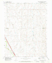
1969 · Noonen Reservoir SW
USGS Topo · 1:24,000
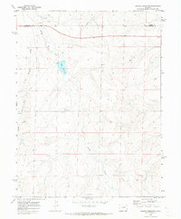
1969 · Noonen Reservoir
USGS Topo · 1:24,000

1973 · Last Chance SW
USGS Topo · 1:24,000
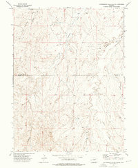
1973 · Cottonwood Valley South
USGS Topo · 1:24,000

1973 · Last Chance NW
USGS Topo · 1:24,000
1973 · Cottonwood Valley North
USGS Topo · 1:24,000

1973 · Wetzel Creek
USGS Topo · 1:24,000