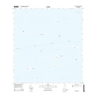
2015 Map of Cottrell Key
USGS Topo · Published 2015About this map
Ballast Key and Woman Key anchor the southern reaches of this maritime landscape in Monroe County, Florida. This aquatic survey highlights a scattering of islands and shoals between the Atlantic Ocean and the Straits of Florida. The navigation routes are well-defined, featuring the Intracoastal Waterway and the Northwest Channel in the northeast, while the Dry Tortugas Fry transit line cuts across the center of the sheet. Significant island clusters like the Barracouta Keys, Joe Ingram Key, and Man Key define the central waters of the Lakes Passage. The mapping provides a clear view of the shallow banks and deep channels that dictate movement through these tropical keys, including Lavina Bank and the surrounding West Channel.
Find a feature on this map
18 named features on this map. Tap any name to fly to it.
Don’t see what you’re looking for? This feature index may not catch every label — zoom into the map to look around manually.
Map Details
Editions of this 2015 Cottrell Key Map
This is the sole edition of this map. No revisions or reprints were ever made.
Other maps of this area

1921 · Key West
USGS Topo · 1:62,500

1943 · Bay Keys
USGS Topo · 1:24,000

1943 · Key West
USGS Topo · 1:24,000

1943 · Cottrell Key
USGS Topo · 1:24,000

1962 · Key West
USGS Topo · 1:24,000

1963 · Cottrell Key
USGS Topo · 1:24,000

1971 · Key West
USGS Topo · 1:24,000
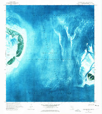
1971 · Marquesas Keys East
USGS Topo · 1:24,000
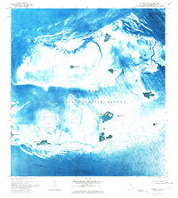
1972 · Cottrell Key
USGS Topo · 1:24,000
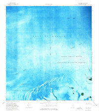
1972 · Bay Keys
USGS Topo · 1:24,000