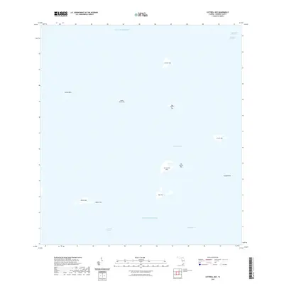
2021 Map of Cottrell Key
USGS Topo · Published 2021About this map
Cottrell Key and its neighboring mangrove islands define this remote marine landscape where the Gulf of Mexico meets the Atlantic Ocean. The map documents a scattering of small keys and banks northwest of Key West, including the gender-named Man Key and Woman Key alongside the privately held Ballast Key. Navigation remains the primary human activity in these waters, evidenced by the presence of the Intracoastal Waterway and the Northwest Channel in the northeastern corner.
Find a feature on this map
18 named features on this map. Tap any name to fly to it.
Don’t see what you’re looking for? This feature index may not catch every label — zoom into the map to look around manually.
Map Details
Editions of this 2021 Cottrell Key Map
This is the sole edition of this map. No revisions or reprints were ever made.
Other maps of this area

1921 · Key West
USGS Topo · 1:62,500

1943 · Bay Keys
USGS Topo · 1:24,000

1943 · Key West
USGS Topo · 1:24,000

1943 · Cottrell Key
USGS Topo · 1:24,000

1962 · Key West
USGS Topo · 1:24,000

1963 · Cottrell Key
USGS Topo · 1:24,000

1971 · Key West
USGS Topo · 1:24,000
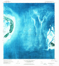
1971 · Marquesas Keys East
USGS Topo · 1:24,000
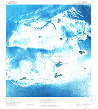
1972 · Cottrell Key
USGS Topo · 1:24,000
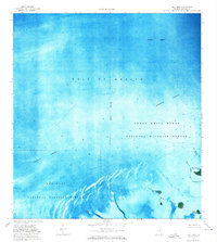
1972 · Bay Keys
USGS Topo · 1:24,000