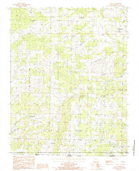
1984 Map of Couch
USGS Topo · Published 1985About this map
The borderlands of Oregon County and the Missouri-Arkansas state line are defined by a network of steep drainage basins and rural community centers in the mid-1980s. The village of Couch serves as a primary reference point in the northeast, while the landscape to the west is dominated by named terrain such as Barren Hollow and Trace Hollow. This area is particularly rich in small-scale local landmarks for genealogy, featuring numerous rural congregations including Norman Ch, Couch Ch, and Rose Hill Ch.
Find a feature on this map
47 named features on this map. Tap any name to fly to it.
Don’t see what you’re looking for? This feature index may not catch every label — zoom into the map to look around manually.
Map Details
Editions of this 1984 Couch Map
This is the sole edition of this map. No revisions or reprints were ever made.
Other maps of this area
1943 · Thayer
USGS Topo · 1:62,500
1944 · Couch
USGS Topo · 1:62,500
1946 · Thayer
USGS Topo · 1:62,500
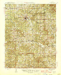
1946 · Couch
USGS Topo · 1:62,500

1957 · Poplar Bluff
USGS Topo · 1:250,000
1959 · Poplar Bluff
USGS Topo · 1:250,000
1960 · Poplar Bluff
USGS Topo · 1:250,000
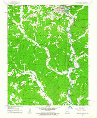
1962 · Mammoth Spring
USGS Topo · 1:24,000
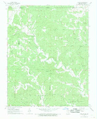
1968 · Hardy NE
USGS Topo · 1:24,000
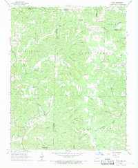
1968 · Wirth
USGS Topo · 1:24,000