
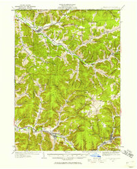
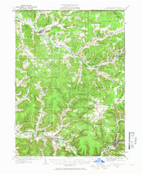
1934 Map of Coudersport
USGS Topo · Published 1934About this map
Oswayo Creek and the Allegheny River define the drainage of this Northern Pennsylvania landscape during the mid-1930s. The map illustrates a transitional era where early rail infrastructure like the New York and Pennsylvania RR and the Coudersport and Port Allegany RR served the valleys of Roulette and Coudersport. The high density of rural schoolhouses, including the Kibbeville Sch, Plank Road Sch, and Wildcat Sch, speaks to a dispersed agricultural and timber-dependent population organized around local hollows. A network of family-named features such as Bells Run and Lillibridge Creek suggests deep-rooted local history, while the Crandall Hill Firetower stands as a sentinel over the timbered ridges of the Pennsylvania New York Boundary Line.
Find a feature on this map
117 named features on this map. Tap any name to fly to it.
Don’t see what you’re looking for? This feature index may not catch every label — zoom into the map to look around manually.
Map Details
Editions of this 1934 Coudersport Map
Other maps of this area

1898 · Olean
USGS Topo · 1:62,500

1925 · Belmont
USGS Topo · 1:62,500

1926 · Wellsville
USGS Topo · 1:62,500

1932 · Genesee
USGS Topo · 1:62,500

1933 · Smethport
USGS Topo · 1:62,500

1937 · Genesee
USGS Topo · 1:62,500

1937 · Smethport
USGS Topo · 1:62,500

1938 · Coudersport
USGS Topo · 1:62,500

1938 · Olean
USGS Topo · 1:62,500

1939 · Belmont
USGS Topo · 1:62,500