
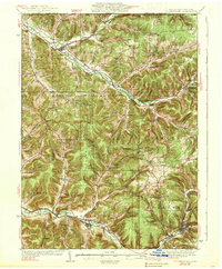
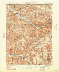
1938 Map of Coudersport
USGS Topo · Published 1938About this map
Coudersport serves as the focal point for this Potter County landscape, situated where the Allegheny and its various runs converge. The 1930s terrain is heavily defined by the winding course of Oswayo Creek and a dense network of hollows, including Turkeypath Hollow and Brazzee Hollow. This era reveals a rural society structured around small schoolhouses like Cow Run Sch and Wildcat Sch, and localized settlements such as Shingle House and Roulette that followed the rail and river corridors.
Find a feature on this map
126 named features on this map. Tap any name to fly to it.
Don’t see what you’re looking for? This feature index may not catch every label — zoom into the map to look around manually.
Map Details
Editions of this 1938 Coudersport Map
3 editions found
Other maps of this area

1898 · Olean
USGS Topo · 1:62,500

1925 · Belmont
USGS Topo · 1:62,500

1926 · Wellsville
USGS Topo · 1:62,500

1932 · Genesee
USGS Topo · 1:62,500

1933 · Smethport
USGS Topo · 1:62,500

1934 · Coudersport
USGS Topo · 1:48,000

1937 · Genesee
USGS Topo · 1:62,500

1937 · Smethport
USGS Topo · 1:62,500

1938 · Olean
USGS Topo · 1:62,500

1939 · Belmont
USGS Topo · 1:62,500