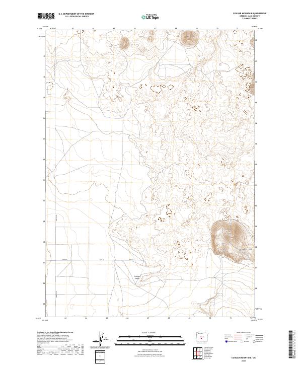
2023 Map of Cougar Mountain
USGS Topo · Published 2023About this map
Cougar Mtn dominates the southeastern corner of this high desert landscape, rising as a prominent volcanic landmark above the northern reaches of the Fort Rock Valley. This area of Lake County is characterized by a sparse network of section lines and gravel access routes, illustrating the vast, open-range nature of the Oregon interior. The map shows a clear transition from the flatter basin of the valley into the more complex, undulating terrain of the volcanic uplands to the north and east.
Find a feature on this map
10 named features on this map. Tap any name to fly to it.
Don’t see what you’re looking for? This feature index may not catch every label — zoom into the map to look around manually.
Map Details
Editions of this 2023 Cougar Mountain Map
This is the sole edition of this map. No revisions or reprints were ever made.
Other maps of this area

1931 · Newberry Crater
USGS Topo · 1:125,000

1935 · Newberry Crater
USGS Topo · 1:125,000

1955 · Crescent
USGS Topo · 1:250,000

1957 · Crescent
USGS Topo · 1:250,000

1958 · Crescent
USGS Topo · 1:250,000

1970 · Crescent
USGS Topo · 1:250,000

1979 · Crescent
USGS Topo · 1:100,000

1981 · Fox Butte
USGS Topo · 1:24,000

1981 · Hogback Butte
USGS Topo · 1:24,000

1981 · Cougar Mtn
USGS Topo · 1:24,000